Sancergues
Sancergues is a commune in the Cher department in the Centre-Val de Loire region of France.
Sancergues | |
|---|---|
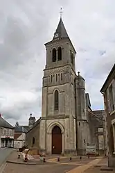 The church of Saint-Jacques, in Sancergues | |
.svg.png.webp) Coat of arms | |
Location of Sancergues 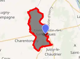
| |
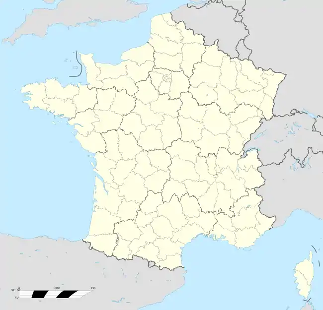  Sancergues 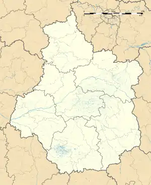 Sancergues | |
| Coordinates: 47°09′22″N 2°55′03″E | |
| Country | France |
| Region | Centre-Val de Loire |
| Department | Cher |
| Arrondissement | Bourges |
| Canton | Avord |
| Government | |
| • Mayor (2008–2014) | Jean-Luc Charache |
| Area 1 | 15.53 km2 (6.00 sq mi) |
| Population (2017-01-01)[1] | 649 |
| • Density | 42/km2 (110/sq mi) |
| Time zone | UTC+01:00 (CET) |
| • Summer (DST) | UTC+02:00 (CEST) |
| INSEE/Postal code | 18240 /18140 |
| Elevation | 158–222 m (518–728 ft) |
| 1 French Land Register data, which excludes lakes, ponds, glaciers > 1 km2 (0.386 sq mi or 247 acres) and river estuaries. | |
Geography
A farming area comprising a village and several hamlets situated about 20 miles (32 km) northeast of Bourges, at the junction of the N151 with the D72, D6 and the D44 roads. The commune is on the ancient pilgrimage route known as St. James' Way and lies on the left bank of the Vauvise, which forms most of the commune's eastern border.
Population
| Year | Pop. | ±% |
|---|---|---|
| 1962 | 858 | — |
| 1968 | 863 | +0.6% |
| 1975 | 942 | +9.2% |
| 1982 | 865 | −8.2% |
| 1990 | 807 | −6.7% |
| 1999 | 718 | −11.0% |
| 2008 | 701 | −2.4% |
Sights
- The church of St. Jacques and St. Cyr, dating from the twelfth century.
- A feudal motte at Augy.
- Augy chateau, home of Nobel laureate Roger Martin du Gard for 27 years.
See also
References
- "Populations légales 2017". INSEE. Retrieved 6 January 2020.
External links
 |
Wikimedia Commons has media related to Sancergues. |
- Official Sancergues website (in French)
Authority control  |
|
|---|
This article is issued from Wikipedia. The text is licensed under Creative Commons - Attribution - Sharealike. Additional terms may apply for the media files.