Le Pondy
Le Pondy is a commune in the Cher department in the Centre-Val de Loire region of France.
Le Pondy | |
|---|---|
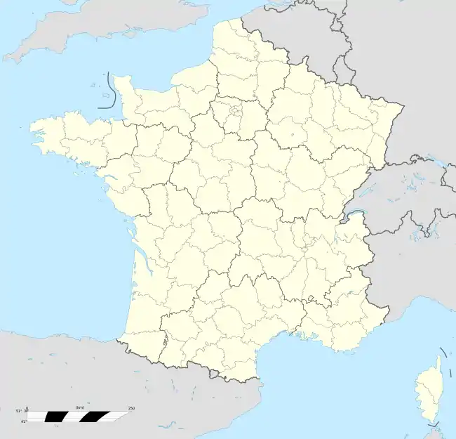
Location of Le Pondy 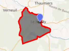
| |
  Le Pondy 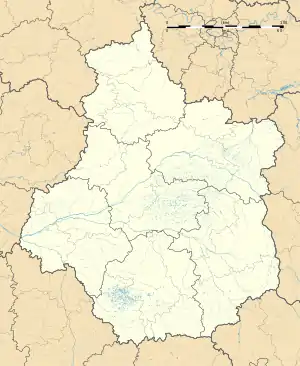 Le Pondy | |
| Coordinates: 46°48′18″N 2°39′01″E | |
| Country | France |
| Region | Centre-Val de Loire |
| Department | Cher |
| Arrondissement | Saint-Amand-Montrond |
| Canton | Dun-sur-Auron |
| Intercommunality | CC Le Dunois |
| Government | |
| • Mayor (2008–2014) | Patrick Etienne |
| Area 1 | 6.63 km2 (2.56 sq mi) |
| Population (2017-01-01)[1] | 144 |
| • Density | 22/km2 (56/sq mi) |
| Time zone | UTC+01:00 (CET) |
| • Summer (DST) | UTC+02:00 (CEST) |
| INSEE/Postal code | 18183 /18210 |
| Elevation | 165–190 m (541–623 ft) (avg. 175 m or 574 ft) |
| 1 French Land Register data, which excludes lakes, ponds, glaciers > 1 km2 (0.386 sq mi or 247 acres) and river estuaries. | |
Geography
An area of lakes, forestry and farming comprising a small village and two hamlets situated by the banks of the river Arnon, some 21 miles (34 km) southeast of Bourges, at the junction of the D953 and the D6 roads.
Population
| Year | Pop. | ±% |
|---|---|---|
| 1962 | 115 | — |
| 1968 | 172 | +49.6% |
| 1975 | 129 | −25.0% |
| 1982 | 127 | −1.6% |
| 1990 | 124 | −2.4% |
| 1999 | 140 | +12.9% |
| 2008 | 122 | −12.9% |
Sights
- The fifteenth-century chateau.
- An eighteenth-century stone cross.
See also
References
- "Populations légales 2017". INSEE. Retrieved 6 January 2020.
 |
Wikimedia Commons has media related to Le Pondy. |

Authority control  |
|---|
This article is issued from Wikipedia. The text is licensed under Creative Commons - Attribution - Sharealike. Additional terms may apply for the media files.