Zawada, Staszów County
Zawada[1][2] [zaˈvada] is a village in the administrative district of Gmina Połaniec, within Staszów County, Świętokrzyskie Voivodeship, in south-central Poland.[3] It lies approximately 4 kilometres (2 mi) east of Połaniec, 19 km (12 mi) south-east of Staszów, and 72 km (45 mi) south-east of the regional capital Kielce.
Zawada | |
|---|---|
Village | |
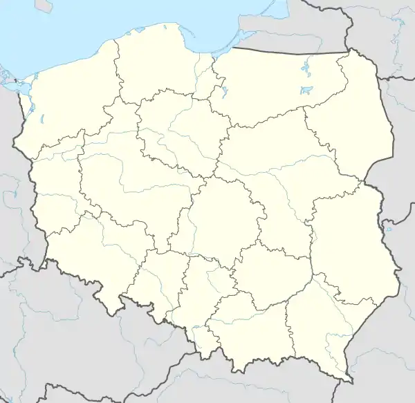  Zawada | |
| Coordinates: 50°25′54″N 21°19′51″E | |
| Country |  Poland Poland |
| Voivodeship | Świętokrzyskie |
| County | Staszów |
| Gmina | Połaniec |
| Sołectwo | Łęg-Zawada |
| Elevation | 154.3 m (506.2 ft) |
| Time zone | UTC+1 (CET) |
| • Summer (DST) | UTC+2 (CEST) |
| Postal code | 28-230 |
| Area code(s) | +48 15 |
| Car plates | TSZ |
References
- Bielec, Jan (ed.); Szwałek, Stanisława (1982). Wykaz urzędowych nazw miejscowości w Polsce. T. III: P – Ż [List of official names of localities in Poland, Vol. III: P – Ż] (in Polish). Ministry of Administration, Spatial Economy and Environmental Protection (1st ed.). Warsaw, Poland: Central Statistical Office.CS1 maint: extra text: authors list (link)
- "Zawada, wieś, gmina Połaniec — obszar wiejski (cz. 2), powiat staszowski, województwo świętokrzyskie" [Zawada, village, Połaniec Commune — rural area (part of 2), Staszów County, Świętokrzyskie Province, Poland]. Topographical map prepared in 1:10,000 scale. Aerial and satellite orthophotomap (in Polish). Head Office of Geodesy and Cartography, Poland, Warsaw. 2011. geoportal.gov.pl. Retrieved 27 April 2011.
- "Central Statistical Office (GUS) – TERYT (National Register of Territorial Land Apportionment Journal)" (in Polish). 2008-06-01.
| Town and seat |  | ||||
|---|---|---|---|---|---|
| Parts of town |
| ||||
| Villages |
| ||||
| Part of village |
| ||||
| Colonies |
| ||||
| Farmstead |
| ||||
| Smaller locality | |||||
This article is issued from Wikipedia. The text is licensed under Creative Commons - Attribution - Sharealike. Additional terms may apply for the media files.