West Fairview, Pennsylvania
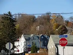
West Fairview, formerly a borough, is now a census-designated place (CDP) located along the Susquehanna River in East Pennsboro Township, Cumberland County, Pennsylvania, United States. As of the 2010 census, the CDP had a population of 1,282.[1]
West Fairview, Pennsylvania | |
|---|---|
 | |
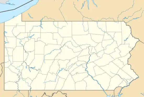  West Fairview Location within the U.S. state of Pennsylvania | |
| Coordinates: 40°16′25″N 76°54′59″W | |
| Country | United States |
| State | Pennsylvania |
| County | Cumberland |
| Township | East Pennsboro |
| Area | |
| • Total | 0.34 sq mi (0.87 km2) |
| • Land | 0.32 sq mi (0.83 km2) |
| • Water | 0.01 sq mi (0.03 km2) |
| Elevation | 360 ft (110 m) |
| Population (2010) | |
| • Total | 1,282 |
| • Density | 3,980/sq mi (1,536.5/km2) |
| Time zone | UTC-5 (Eastern (EST)) |
| • Summer (DST) | UTC-4 (EDT) |
| ZIP codes | 17025 (Enola) |
| Area code(s) | 717 |
| FIPS code | 42-82920 |
| GNIS feature ID | 1191019 |
General information
- Zip code: 17025 (Enola post office)
- Area code: 717
Geography
West Fairview is located on the eastern edge of Cumberland County and East Pennsboro Township at 40.273538° North, 76.916346° West (40.273538, -76.916346).[2] It is on the west shore of the Susquehanna River facing Harrisburg, the state capital. It occupies a hilly peninsula of land between the Susquehanna to the east and Conodoguinet Creek to the south and west. U.S. Route 11/15 runs north-to-south through West Fairview, and Route 944 has its eastern terminus there on 11/15.
According to the United States Census Bureau, West Fairview has a total area of 0.34 square miles (0.87 km2), of which 0.32 square miles (0.83 km2) is land and 0.01 square miles (0.03 km2), or 3.76%, is water.[1]
History
This former borough is by far the oldest settlement of East Pennsboro Township. The merger of the former borough with East Pennsboro Township was spearheaded by Mr. & Mrs. Leonard A. Portzline of West Fairview. The couple and other citizens were interested in the pursuit of greater cost-effectiveness, efficiency, and improvement in the delivery of local governmental services. The merger has become a model used by other communities across the state.
References
 |
Wikimedia Commons has media related to West Fairview, Pennsylvania. |
- "Geographic Identifiers: 2010 Census Summary File 1 (G001): West Fairview CDP, Pennsylvania". U.S. Census Bureau, American Factfinder. Archived from the original on February 13, 2020. Retrieved June 25, 2015.
- "US Gazetteer files: 2010, 2000, and 1990". United States Census Bureau. 2011-02-12. Retrieved 2011-04-23.
Places adjacent to West Fairview, Pennsylvania | ||||||||||
|---|---|---|---|---|---|---|---|---|---|---|
| ||||||||||


Municipalities and communities of Cumberland County, Pennsylvania, United States | ||
|---|---|---|
| Boroughs | 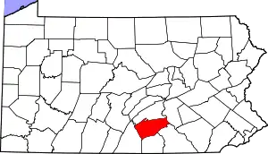 | |
| Townships | ||
| CDPs | ||
| Unincorporated communities | ||
| Footnotes | ‡This populated place also has portions in an adjacent county or counties | |
| ||
Authority control  |
|---|