Saint-Setiers
Saint-Setiers is a commune in the Corrèze department in central France.
Saint-Setiers | |
|---|---|
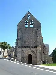 The church in Saint-Setiers | |
.svg.png.webp) Coat of arms | |
Location of Saint-Setiers 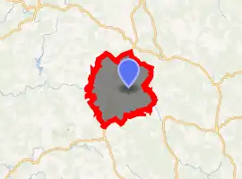
| |
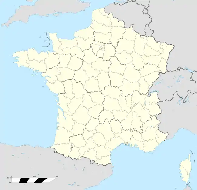  Saint-Setiers 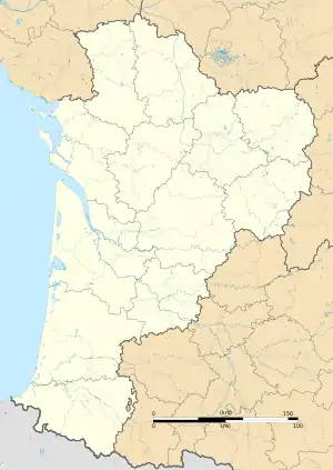 Saint-Setiers | |
| Coordinates: 45°41′51″N 2°07′51″E | |
| Country | France |
| Region | Nouvelle-Aquitaine |
| Department | Corrèze |
| Arrondissement | Ussel |
| Canton | Plateau de Millevaches |
| Intercommunality | Haute-Corrèze Communauté |
| Government | |
| • Mayor (2014–2020) | Daniel Mazière |
| Area 1 | 46.78 km2 (18.06 sq mi) |
| Population (2017-01-01)[1] | 285 |
| • Density | 6.1/km2 (16/sq mi) |
| Time zone | UTC+01:00 (CET) |
| • Summer (DST) | UTC+02:00 (CEST) |
| INSEE/Postal code | 19241 /19290 |
| Elevation | 695–955 m (2,280–3,133 ft) (avg. 850 m or 2,790 ft) |
| 1 French Land Register data, which excludes lakes, ponds, glaciers > 1 km2 (0.386 sq mi or 247 acres) and river estuaries. | |
Geography
The river Diège has its source in the northeastern part of the commune and forms most of its southeastern boundary.
Population
| Year | Pop. | ±% |
|---|---|---|
| 1962 | 504 | — |
| 1968 | 608 | +20.6% |
| 1975 | 298 | −51.0% |
| 1982 | 297 | −0.3% |
| 1990 | 281 | −5.4% |
| 1999 | 245 | −12.8% |
| 2008 | 234 | −4.5% |
Points of interest
See also
References
- "Populations légales 2017". INSEE. Retrieved 6 January 2020.
 |
Wikimedia Commons has media related to Saint-Setiers. |

Authority control  |
|---|
This article is issued from Wikipedia. The text is licensed under Creative Commons - Attribution - Sharealike. Additional terms may apply for the media files.