Röderland
Röderland is a municipality in the Elbe-Elster district, in Brandenburg, Germany.
Röderland | |
|---|---|
 Coat of arms | |
Location of Röderland within Elbe-Elster district 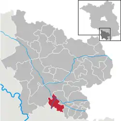 | |
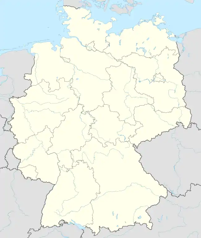  Röderland 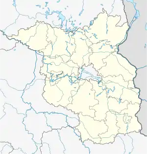 Röderland | |
| Coordinates: 51°25′51″N 13°29′44″E | |
| Country | Germany |
| State | Brandenburg |
| District | Elbe-Elster |
| Government | |
| • Mayor | Marcus Terne |
| Area | |
| • Total | 46.06 km2 (17.78 sq mi) |
| Elevation | 90 m (300 ft) |
| Population (2019-12-31)[1] | |
| • Total | 3,853 |
| • Density | 84/km2 (220/sq mi) |
| Time zone | UTC+01:00 (CET) |
| • Summer (DST) | UTC+02:00 (CEST) |
| Postal codes | 04932 |
| Dialling codes | 03533, 035341 (OT Reichenhain) |
| Vehicle registration | EE, FI, LIB |
| Website | www.gemeinde-roederland.de |
Demography
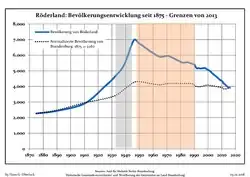 Development of Population since 1875 within the Current Boundaries (Blue Line: Population; Dotted Line: Comparison to Population Development of Brandenburg state; Grey Background: Time of Nazi rule; Red Background: Time of Communist rule)
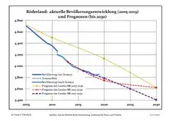 Recent Population Development and Projections (Population Development before Census 2011 (blue line); Recent Population Development according to the Census in Germany in 2011 (blue bordered line); Official projections for 2005-2030 (yellow line); for 2014-2030 (red line); for 2017-2030 (scarlet line)
|
|
|
References
- "Bevölkerung im Land Brandenburg nach amtsfreien Gemeinden, Ämtern und Gemeinden 31. Dezember 2019". Amt für Statistik Berlin-Brandenburg (in German). July 2020.
- Detailed data sources are to be found in the Wikimedia Commons.Population Projection Brandenburg at Wikimedia Commons
Towns and municipalities in Elbe-Elster | ||
|---|---|---|
|  Coat of Arms of Elbe-Elster district | |
Authority control  |
|---|
This article is issued from Wikipedia. The text is licensed under Creative Commons - Attribution - Sharealike. Additional terms may apply for the media files.