Prötzel
Prötzel is a municipality in the district Märkisch-Oderland, in Brandenburg, Germany.
Prötzel | |
|---|---|
.jpg.webp) Church in Prötzel village | |
Location of Prötzel within Märkisch-Oderland district 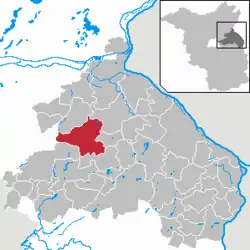 | |
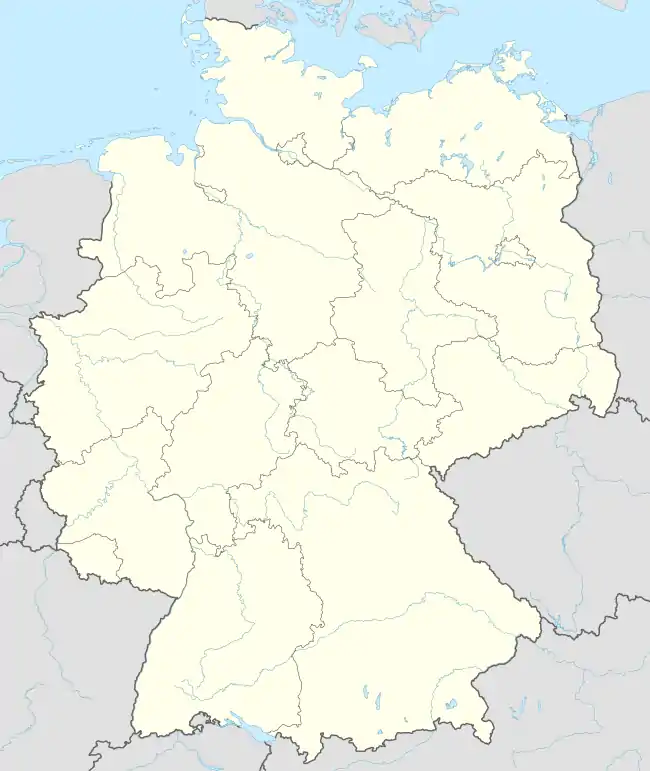  Prötzel 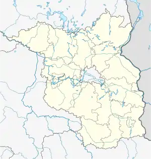 Prötzel | |
| Coordinates: 52°37′59″N 13°58′59″E | |
| Country | Germany |
| State | Brandenburg |
| District | Märkisch-Oderland |
| Municipal assoc. | Barnim-Oderbruch |
| Subdivisions | 4 Ortsteile |
| Government | |
| • Mayor | Rudolf Schlothauer |
| Area | |
| • Total | 85.53 km2 (33.02 sq mi) |
| Elevation | 90 m (300 ft) |
| Population (2019-12-31)[1] | |
| • Total | 992 |
| • Density | 12/km2 (30/sq mi) |
| Time zone | UTC+01:00 (CET) |
| • Summer (DST) | UTC+02:00 (CEST) |
| Postal codes | 15345 |
| Dialling codes | 033436 |
| Vehicle registration | MOL |
Demography
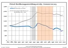
Development of Population since 1875 within the Current Boundaries (Blue Line: Population; Dotted Line: Comparison to Population Development of Brandenburg state; Grey Background: Time of Nazi rule; Red Background: Time of Communist rule)
|
|
References
- "Bevölkerung im Land Brandenburg nach amtsfreien Gemeinden, Ämtern und Gemeinden 31. Dezember 2019". Amt für Statistik Berlin-Brandenburg (in German). July 2020.
- Detailed data sources are to be found in the Wikimedia Commons.Population Projection Brandenburg at Wikimedia Commons
External links
 Media related to Prötzel at Wikimedia Commons

This article is issued from Wikipedia. The text is licensed under Creative Commons - Attribution - Sharealike. Additional terms may apply for the media files.