Paterson, Queensland
Paterson is a rural locality in the Fraser Coast Region, Queensland, Australia.[2] In the 2016 census, Paterson had a population of 148 people.[1]
| Paterson Queensland | |||||||||||||||
|---|---|---|---|---|---|---|---|---|---|---|---|---|---|---|---|
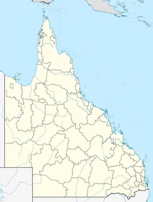  Paterson | |||||||||||||||
| Coordinates | 25.89°S 152.5222°E | ||||||||||||||
| Population | 148 (2016 census)[1] | ||||||||||||||
| • Density | 5.193/km2 (13.45/sq mi) | ||||||||||||||
| Postcode(s) | 4570 | ||||||||||||||
| Area | 28.5 km2 (11.0 sq mi) | ||||||||||||||
| Time zone | AEST (UTC+10:00) | ||||||||||||||
| LGA(s) | Fraser Coast Region | ||||||||||||||
| State electorate(s) | Gympie | ||||||||||||||
| Federal Division(s) | Wide Bay | ||||||||||||||
| |||||||||||||||
History
The locality presumably takes its name from its railway station which in turn was named after a local resident.[3] Local residents began lobbying for a railway siding on Mr Paterson's property in 1890 to avoid having to travel miles to the nearest stations.[4]
References
- Australian Bureau of Statistics (27 June 2017). "Paterson (SSC)". 2016 Census QuickStats. Retrieved 20 October 2018.

- "Paterson – locality in Fraser Coast Region (entry 46666)". Queensland Place Names. Queensland Government. Retrieved 10 June 2019.
- "NOMENCLATURE OF QUEENSLAND—236". The Courier-mail (886). Queensland, Australia. 2 July 1936. p. 14. Retrieved 20 October 2019 – via National Library of Australia.
- "PATERSON'S SIDING". Maryborough Chronicle, Wide Bay And Burnett Advertiser (5, 370). Queensland, Australia. 13 October 1890. p. 3. Retrieved 20 October 2019 – via National Library of Australia.
This article is issued from Wikipedia. The text is licensed under Creative Commons - Attribution - Sharealike. Additional terms may apply for the media files.