Palé, Hungary
Palé | |
|---|---|
Village | |
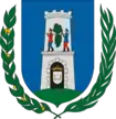
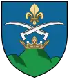 Seal | |
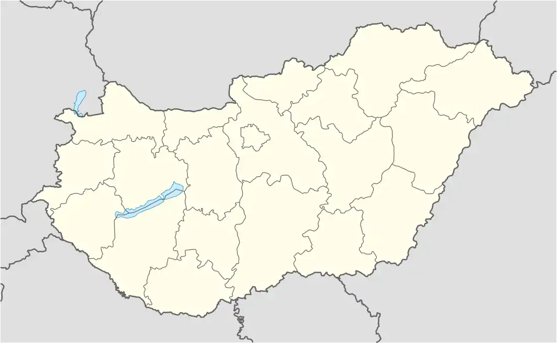  Palé Location of Palé | |
| Coordinates: 46.26056°N 18.07031°E | |
| Country |  Hungary Hungary |
| County | Baranya |
| Government | |
| • Polgármester | Pintérné Magyar Mária[1] |
| Area | |
| • Total | 2.15 km2 (0.83 sq mi) |
| Population | |
| • Total | 97 |
| • Density | 45/km2 (120/sq mi) |
| Time zone | UTC+1 (CET) |
| • Summer (DST) | UTC+2 (CEST) |
References
- "Palé települési választás eredményei" (in Hungarian). Országos Választási Iroda. 2010-10-03. Retrieved 2011-12-15.
This article is issued from Wikipedia. The text is licensed under Creative Commons - Attribution - Sharealike. Additional terms may apply for the media files.