Moncley
Moncley is a commune in the Doubs department in the Bourgogne-Franche-Comté region in eastern France.
Moncley | |
|---|---|
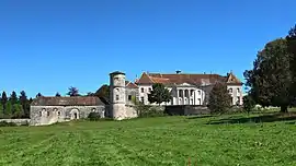 Castle | |
Location of Moncley 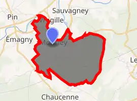
| |
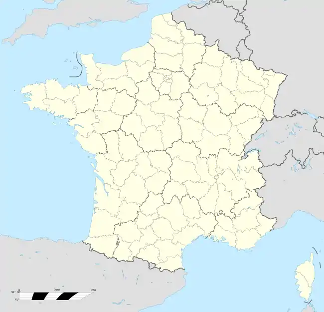  Moncley 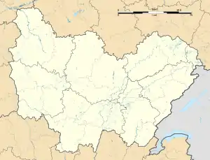 Moncley | |
| Coordinates: 47°18′33″N 5°53′33″E | |
| Country | France |
| Region | Bourgogne-Franche-Comté |
| Department | Doubs |
| Arrondissement | Besançon |
| Canton | Saint-Vit |
| Government | |
| • Mayor (2008–2014) | Patrick Meutelet |
| Area 1 | 7.92 km2 (3.06 sq mi) |
| Population (2017-01-01)[1] | 280 |
| • Density | 35/km2 (92/sq mi) |
| Time zone | UTC+01:00 (CET) |
| • Summer (DST) | UTC+02:00 (CEST) |
| INSEE/Postal code | 25383 /25170 |
| Elevation | 204–255 m (669–837 ft) |
| 1 French Land Register data, which excludes lakes, ponds, glaciers > 1 km2 (0.386 sq mi or 247 acres) and river estuaries. | |
Geography
Moncley lies 17 km (11 mi) northwest of Besançon in the valley of the Ognon. The river forms the boundary with the department of Haute-Saône.
Population
| Year | Pop. | ±% |
|---|---|---|
| 1962 | 173 | — |
| 1968 | 175 | +1.2% |
| 1975 | 168 | −4.0% |
| 1982 | 231 | +37.5% |
| 1990 | 221 | −4.3% |
| 1999 | 282 | +27.6% |
| 2006 | 333 | +18.1% |
| 2012 | 311 | −6.6% |
See also
References
- "Populations légales 2017". INSEE. Retrieved 6 January 2020.
External links
 |
Wikimedia Commons has media related to Moncley. |
Authority control  |
|
|---|
This article is issued from Wikipedia. The text is licensed under Creative Commons - Attribution - Sharealike. Additional terms may apply for the media files.