Mendawai River
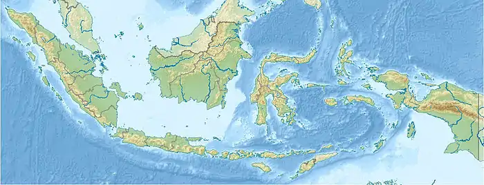
Mendawai River is a river of Borneo, Indonesia.[1][2] The longhouses of the Pendahara are located along the river in its upper course. The river has its source in the Schwaner Mountain Range.[3]
| Mendawai River Soengai Katingin, Soengai Mendawei, Soengai Ketingan, Mendawi, Soengai Katingan | |
|---|---|
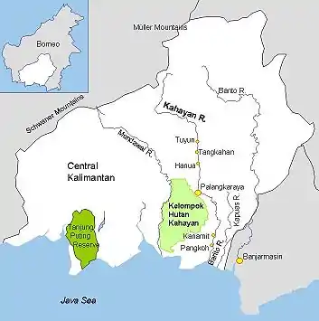 Mendawai and other rivers in Central Kalimantan | |
  | |
| Native name | Sungai Mendawai |
| Location | |
| Country | Indonesia |
| Province | Central Kalimantan |
| Physical characteristics | |
| Source | Borneo |
| Mouth | |
• location | Java Sea |
Geography
The river flows in the southeast area of Borneo with predominantly tropical rainforest climate (designated as Af in the Köppen-Geiger climate classification).[4] The annual average temperature in the area is 22 °C. The warmest month is September, when the average temperature is around 24 °C, and the coldest is December, at 20 °C.[5] The average annual rainfall is 2991 mm. The wettest month is December, with an average of 476 mm rainfall, and the driest is September, with 75 mm rainfall.[6]
References
- Rand McNally, The New International Atlas, 1993.
- Sungai Mendawai - Geonames.org.
- "Central Kalimantan". Goarchi. Retrieved October 30, 2010.
- Peel, M C; Finlayson, B L; McMahon, T A (2007). "Updated world map of the Köppen-Geiger climate classification". Hydrology and Earth System Sciences. 11 (5): 1633–1644. doi:10.5194/hess-11-1633-2007.
- "NASA Earth Observations Data Set Index". NASA. 30 January 2016.
- "NASA Earth Observations: Rainfall (1 month - TRMM)". NASA/Tropical Rainfall Monitoring Mission. 30 January 2016.
This article is issued from Wikipedia. The text is licensed under Creative Commons - Attribution - Sharealike. Additional terms may apply for the media files.