Marble Hall
Marble Hall is a town in the south of the Limpopo province of South Africa. It was formerly in Mpumalanga province.
Marble Hall | |
|---|---|
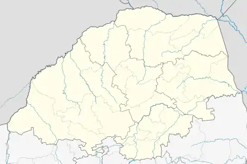  Marble Hall 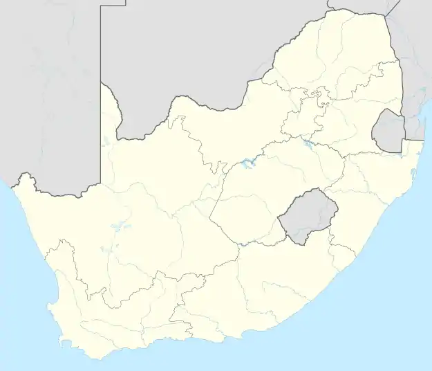 Marble Hall | |
| Coordinates: 24°58′S 29°18′E | |
| Country | South Africa |
| Province | Limpopo |
| District | Sekhukhune |
| Municipality | Ephraim Mogale |
| Area | |
| • Total | 16.49 km2 (6.37 sq mi) |
| Elevation | 910 m (2,990 ft) |
| Population (2011)[1] | |
| • Total | 2,687 |
| • Density | 160/km2 (420/sq mi) |
| Racial makeup (2011) | |
| • Black African | 59.1% |
| • Coloured | 0.7% |
| • Indian/Asian | 4.6% |
| • White | 34.5% |
| • Other | 1.2% |
| First languages (2011) | |
| • Afrikaans | 35.1% |
| • Northern Sotho | 50.6% |
| • English | 12.0% |
| • Tsonga | 4.3% |
| • Other | 18.0% |
| Time zone | UTC+2 (SAST) |
| Postal code (street) | 0450 |
| PO box | 0450 |
| Area code | 013 |
Marble Hall is a village 26 km north-west of Groblersdal and 96 km south-south-east of Mokopane on the N11 National Route. Laid out in 1942 and proclaimed a township in January 1945, it owes its development to the Marble Lime Mine. Its name is said to be an adaptation of ‘marble hole’, where fifteen varieties of marble occur.[2]
History
While on a hunting expedition from Pretoria, Christoffel Visagie and his family discovered a hole containing marble in 1920. In 1929 the Marble Lime Company came in to work on the deposits and then, in 1942, a town was developed and known as Marmerhol (Afrikaans for Marble Hole). Soon the town's name was changed to Marble Hall.[3]
See also
References
- "Main Place Marble Hall". Census 2011.
- "Dictionary of Southern African Place Names (Public Domain)". Human Science Research Council. p. 298.
- www.sa-venues.com
Municipalities and communities of Sekhukhune District Municipality | ||
|---|---|---|
District seat: Groblersdal | ||
| Elias Motsoaledi | .svg.png.webp) Sekhukhune District within South Africa | |
| Ephraim Mogale | ||
| Fetakgomo/Tubatse | ||
| Makhuduthamaga | ||