La Serre
La Serre is a commune in the Aveyron department in southern France.
La Serre | |
|---|---|
Location of La Serre 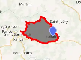
| |
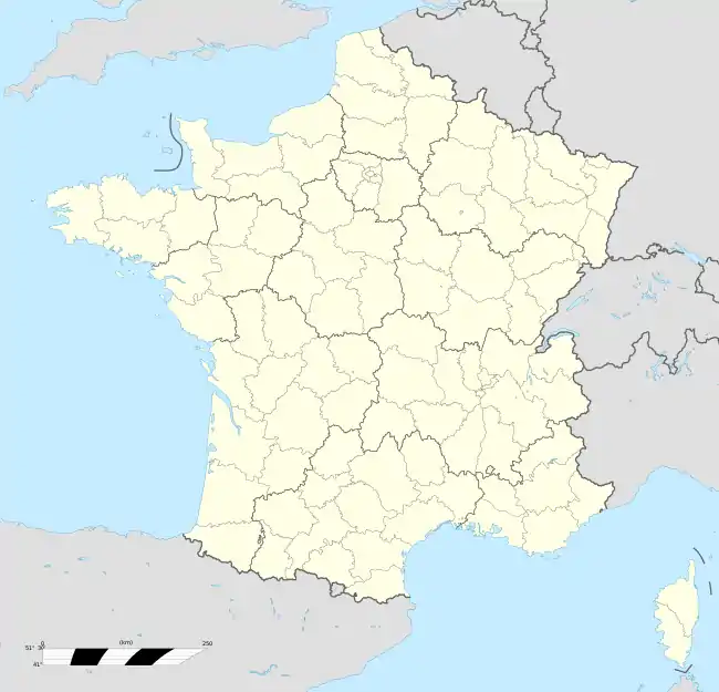  La Serre 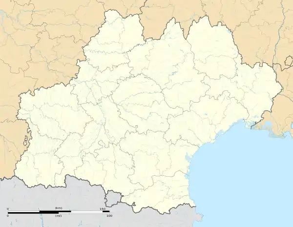 La Serre | |
| Coordinates: 43°53′09″N 2°40′57″E | |
| Country | France |
| Region | Occitanie |
| Department | Aveyron |
| Arrondissement | Millau |
| Canton | Causses-Rougiers |
| Government | |
| • Mayor (2008–2014) | Franck Couderc |
| Area 1 | 18.52 km2 (7.15 sq mi) |
| Population (2017-01-01)[1] | 120 |
| • Density | 6.5/km2 (17/sq mi) |
| Time zone | UTC+01:00 (CET) |
| • Summer (DST) | UTC+02:00 (CEST) |
| INSEE/Postal code | 12269 /12380 |
| Elevation | 398–668 m (1,306–2,192 ft) (avg. 650 m or 2,130 ft) |
| 1 French Land Register data, which excludes lakes, ponds, glaciers > 1 km2 (0.386 sq mi or 247 acres) and river estuaries. | |
Population
| Year | Pop. | ±% |
|---|---|---|
| 1962 | 307 | — |
| 1968 | 326 | +6.2% |
| 1975 | 259 | −20.6% |
| 1982 | 204 | −21.2% |
| 1990 | 176 | −13.7% |
| 1999 | 140 | −20.5% |
| 2008 | 132 | −5.7% |
The GSSP Golden Spike for the Tournaisian is in La Serre, with the first appearance of the conodont Siphonodella sulcata. In 2006 it was discovered that this GSSP has biostratigraphic problems.
See also
References
- "Populations légales 2017". INSEE. Retrieved 6 January 2020.
 |
Wikimedia Commons has media related to La Serre. |

Authority control  |
|---|
This article is issued from Wikipedia. The text is licensed under Creative Commons - Attribution - Sharealike. Additional terms may apply for the media files.