Koekenaap
Koekenaap is a settlement in West Coast District Municipality in the Western Cape province of South Africa.
Koekenaap | |
|---|---|
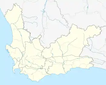  Koekenaap 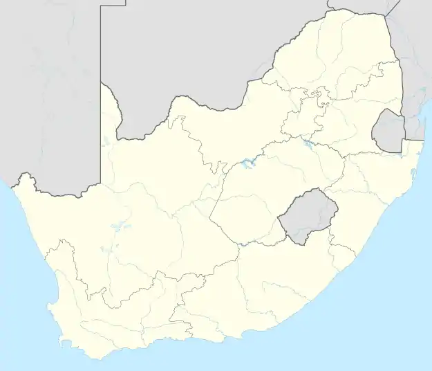 Koekenaap | |
| Coordinates: 31°31′23″S 18°17′32″E | |
| Country | South Africa |
| Province | Western Cape |
| District | West Coast |
| Municipality | Matzikama |
| Area | |
| • Total | 1.59 km2 (0.61 sq mi) |
| Population (2011)[1] | |
| • Total | 1,551 |
| • Density | 980/km2 (2,500/sq mi) |
| Racial makeup (2011) | |
| • Black African | 12.4% |
| • Coloured | 83.8% |
| • Indian/Asian | 0.3% |
| • White | 3.1% |
| • Other | 0.3% |
| First languages (2011) | |
| • Afrikaans | 89.3% |
| • Xhosa | 5.2% |
| • English | 2.2% |
| • Other | 3.2% |
| Time zone | UTC+2 (SAST) |
| PO box | 8146 |
Koekenaap is situated in the Lower Olifants River Valley, between the Atlantic Ocean on the West Coast and the Olifants River inland. It is a modest three-hour drive from Cape Town and about 25km from the snoek and crayfish-filled West Coast waters.
Koekenaap is set in a patchwork landscape of farming units. Farmers produce grapes, tomatoes, beans, potatoes, beetroot, pumpkin and a variety of fruit.[2]
References
Municipalities and communities of West Coast District Municipality, Western Cape | ||
|---|---|---|
District seat: Moorreesburg | ||
| Matzikama | .svg.png.webp) West Coast District within South Africa | |
| Cederberg | ||
| Bergrivier | ||
| Saldanha Bay | ||
| Swartland | ||
This article is issued from Wikipedia. The text is licensed under Creative Commons - Attribution - Sharealike. Additional terms may apply for the media files.