Kasterlee
Kasterlee (Dutch pronunciation: [ˈkɑstərleː]) is a municipality located in the Belgian province of Antwerp. The municipality comprises the towns of Kasterlee proper, Lichtaart and Tielen. On January 1, 2006 Kasterlee had a total population of 17,908. The total area is 71.56 km² which gives a population density of 250 inhabitants per km². The town is twinned with Plaffeien (Switzerland).
Kasterlee | |
|---|---|
.jpg.webp) | |
 Flag  Coat of arms | |
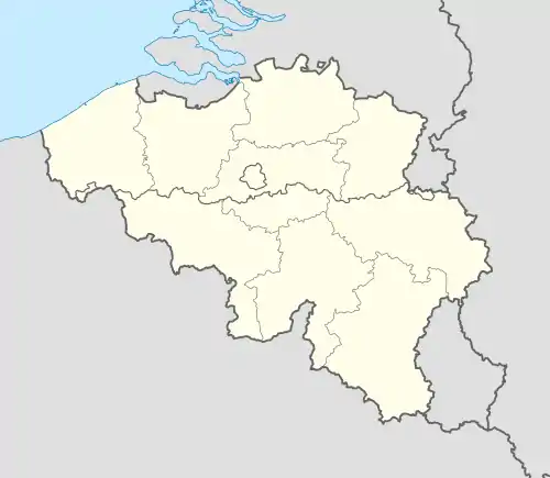  Kasterlee Location in Belgium
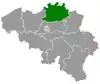
Location of Kasterlee in the province of Antwerp 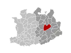 | |
| Coordinates: 51°15′N 04°57′E | |
| Country | Belgium |
| Community | Flemish Community |
| Region | Flemish Region |
| Province | Antwerp |
| Arrondissement | Turnhout |
| Government | |
| • Mayor | Ward Kennes (CD&V) |
| • Governing party/ies | CD&V |
| Area | |
| • Total | 71.52 km2 (27.61 sq mi) |
| Population (2018-01-01)[1] | |
| • Total | 18,600 |
| • Density | 260/km2 (670/sq mi) |
| Postal codes | 2460 |
| Area codes | 014 |
| Website | www.kasterlee.be |
Notable people
- Baron Bob Stouthuysen (b. 10 March 1929), businessman.
Gallery
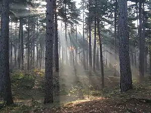 Crepuscular rays in the woods of Kasterlee
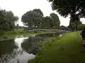 the Kleine Nete in Kasterlee
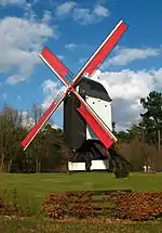 Keeses Molen
References
- "Wettelijke Bevolking per gemeente op 1 januari 2018". Statbel. Retrieved 9 March 2019.
External links
 Media related to Kasterlee at Wikimedia Commons
- Official website - Available only in Dutch
Places adjacent to Kasterlee | |
|---|---|


This article is issued from Wikipedia. The text is licensed under Creative Commons - Attribution - Sharealike. Additional terms may apply for the media files.