Ixcatepec
Ixcatepec is a municipality in Veracruz, Mexico. It is located in north zone of the State of Veracruz, about 220 kilometres (137 mi) from state capital Xalapa. It has a surface of 229.49 square kilometres (88.61 sq mi). It is located at 21°14′N 98°00′W.
Ixcatepec | |
|---|---|
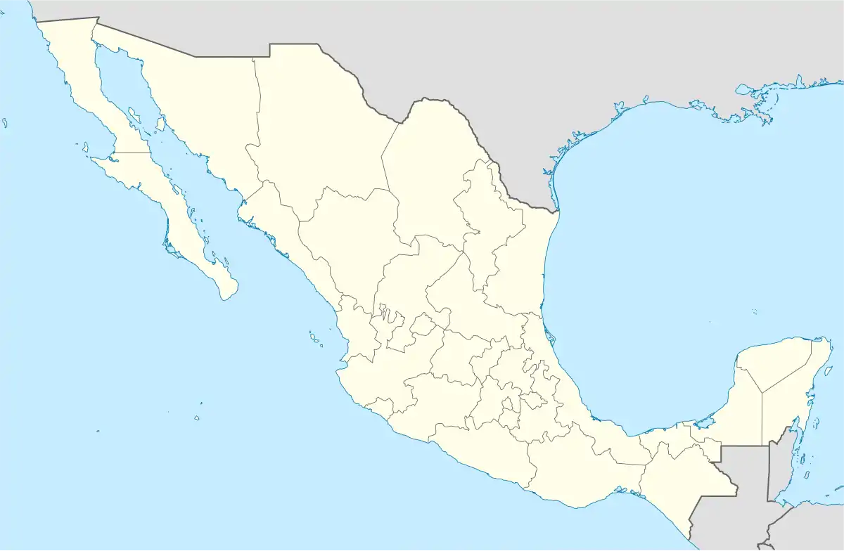  Ixcatepec Location of Ixcatepec within Mexico | |
| Coordinates: 21°14′N 98°00′W | |
| Country |  Mexico Mexico |
| State | Veracruz |
| Government | |
| • Municipal President | Erick Omar Martínez Márquez |
| Area | |
| • Total | 229.5 km2 (88.6 sq mi) |
| Population | |
| • Total | 12 664 |
| • Density | 55.18/km2 (142.9/sq mi) |
| Time zone | UTC-6 (CST) |
| • Summer (DST) | UTC-5 (CDT) |
| Website | http://www.ixcatepec.gob.mx/ |
The municipality of Ixcatepec is delimited to the north and north-east by Chontla, to the west by Tantoyuca, to the south by Chicontepec de Tejeda and to the south-east by Tepetzintla.[1]
It produces principally maize, beans and sugarcane.
In Ixcatepec, in August takes place the celebration in honor to Virgen de la Asunción, Patron of the town.
The weather in Ixcatepec is very warm to hot all year with rains in summer and autumn.
References
- "Enciclopedia de los Municipios de México: Ixcatepec" (in Spanish). Gobierno Estatal. Retrieved 2009-06-09.
External links
- (in Spanish) Municipal Official webpage

This article is issued from Wikipedia. The text is licensed under Creative Commons - Attribution - Sharealike. Additional terms may apply for the media files.