Iglesia Antigua, Texas
Iglesia Antigua is a census-designated place (CDP) in Cameron County, in the U.S. state of Texas. The population was 413 at the 2010 census.[1] Prior to the 2010 census the community was part of the Bluetown-Iglesia Antigua CDP. It is part of the Brownsville–Harlingen Metropolitan Statistical Area.
Iglesia Antigua, Texas | |
|---|---|
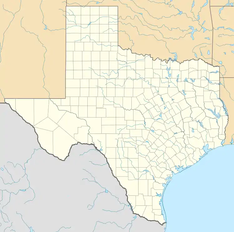  Iglesia Antigua Location within the state of Texas | |
| Coordinates: 26°4′27″N 97°50′14″W | |
| Country | United States |
| State | Texas |
| County | Cameron |
| Area | |
| • Total | 2.2 sq mi (5.6 km2) |
| • Land | 2.1 sq mi (5.4 km2) |
| • Water | 0.08 sq mi (0.2 km2) |
| Elevation | 65 ft (20 m) |
| Population (2010) | |
| • Total | 413 |
| • Density | 199/sq mi (76.7/km2) |
| Time zone | UTC-6 (Central (CST)) |
| • Summer (DST) | UTC-5 (CDT) |
| FIPS code | 48-35754[1] |
Geography
Iglesia Antigua is in southwestern Cameron County, bordered to the east by Bluetown. To the west is Santa Maria, and to the south is the Rio Grande, which forms the Mexico–United States border. U.S. Route 281 passes through the community, leading southeast 28 miles (45 km) to Brownsville and west 27 miles (43 km) to Hidalgo.
According to the United States Census Bureau, the Iglesia Antigua CDP has a total area of 2.2 square miles (5.6 km2), of which 2.1 square miles (5.4 km2) is land and 0.08 square miles (0.2 km2), or 3.96%, is water.[1]
References
- "Geographic Identifiers: 2010 Census Summary File 1 (G001): Iglesia Antigua CDP, Texas". U.S. Census Bureau, American Factfinder. Archived from the original on February 13, 2020. Retrieved July 9, 2015.
Municipalities and communities of Cameron County, Texas, United States | ||
|---|---|---|
| Cities | 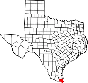 Cameron County map | |
| Towns | ||
| Village | ||
| CDPs |
| |
| Other unincorporated communities | ||
| Ghost town | ||
| ||