Hinterhornbach
Hinterhornbach is a municipality in the district of Reutte in the Austrian state of Tyrol.
Hinterhornbach | |
|---|---|
 Coat of arms | |
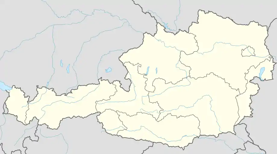  Hinterhornbach Location within Austria | |
| Coordinates: 47°21′28″N 10°27′03″E | |
| Country | Austria |
| State | Tyrol |
| District | Reutte |
| Government | |
| • Mayor | Martin Kärle |
| Area | |
| • Total | 50.55 km2 (19.52 sq mi) |
| Elevation | 1,101 m (3,612 ft) |
| Population (2018-01-01)[2] | |
| • Total | 92 |
| • Density | 1.8/km2 (4.7/sq mi) |
| Time zone | UTC+1 (CET) |
| • Summer (DST) | UTC+2 (CEST) |
| Postal code | 6642 |
| Area code | 05632 |
| Vehicle registration | RE |
Geography
Hinterhornbach lies in the Hornbach valley, a side valley of the Lech watershed. It is situated at the foot of the Hochvogel in the Allgau Alps.
References
- "Dauersiedlungsraum der Gemeinden Politischen Bezirke und Bundesländer - Gebietsstand 1.1.2018". Statistics Austria. Retrieved 10 March 2019.
- "Einwohnerzahl 1.1.2018 nach Gemeinden mit Status, Gebietsstand 1.1.2018". Statistics Austria. Retrieved 9 March 2019.
 |
Wikimedia Commons has media related to Hinterhornbach. |

This article is issued from Wikipedia. The text is licensed under Creative Commons - Attribution - Sharealike. Additional terms may apply for the media files.