Hino, Tottori
Hino (日野町, Hino-chō) is a town located in Hino District, Tottori Prefecture, Japan.[1]
Hino
日野町 | |
|---|---|
Town | |
.jpg.webp) Hino Town Office, Hino, Tottori Prefecture | |
 Flag  Seal | |
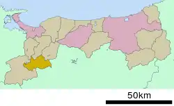 Location of Hino in Tottori Prefecture | |
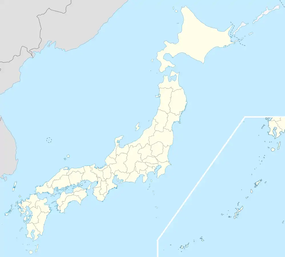  Hino | |
| Coordinates: 35°14′N 133°27′E | |
| Country | Japan |
| Region | Chūgoku San'in |
| Prefecture | Tottori Prefecture |
| District | Hino |
| Area | |
| • Total | 133.98 km2 (51.73 sq mi) |
| Population (June 1, 2016) | |
| • Total | 3,202 |
| • Density | 239/km2 (620/sq mi) |
| Time zone | UTC+9 (Japan Standard Time) |
| City symbols | |
| • Tree | Japanese cedar |
| • Flower | Azalea |
| • Bird | Mandarin duck |
| Phone number | 0859-72-0331 |
| Address | 101 Neu, Hino-chō, Hino-gun, Tottori-ken 689-4503 |
| Website | Town of Hino, Official Site(in Japanese) |
As of 2012, the town has an estimated population of 3,682 and a density of 27.47/km2 (71.1/sq mi). The total area is 134.02 km2 (51.75 sq mi). The town center is located around the JR West Hakubi Line Neu Station.[2]
Bordering municipalities
Hino, while located in Tottori Prefecture, also borders on Okayama Prefecture.
History
In the Sengoku period (1467 – 1573) the Hino clan built Kagamiyama Castle on Mount Kagami (335 metres (1,099 ft)) in the Kurosaka area of Hino.[1] The small-scale castle consisted of only honmaru inner bailey and a ni-no-maru outer bailey. Packhorses were also kept at the castle. A jōkamachi castle town was built at the base of the mountain.[3] In 1632 the Tottori clan destroyed the castle, and used the site as an encampment. In the Edo period (1603 – 1868) the village of Neu became a shukuba post town. The commercial and administrative activities of the present-day Hino shifted to the Neu, where they remain today.[1]
Notable places
- Kanemochi Shrine[4]
- Akechi Peak
- Unoike Pond
Transportation
Rail
Hino is served by the JR West Hakubi Line.[1]
Neu Station serves the center of the town and municipal organizations.
Highways
- Expressway
- Japan National Route 180 Kōfu-Miyoshi Bypass -- Kōfu, Tottori to Miyoshi, Hiroshima
- National Routes
- Prefectural Routes
- Tottori Prefecture Route 35
- Tottori Prefecture Route 46
- Okayama Prefecture/Tottori Prefecture Route 112
- Tottori Prefecture Route 210
- Tottori Prefecture Route 286
- Tottori Prefecture Route 311
References
- "日野(町)" [Hino]. Nihon Daihyakka Zensho (Nipponika) (in Japanese). Tokyo: Shogakukan. 2012. OCLC 153301537. Archived from the original on August 25, 2007. Retrieved 2012-07-10.
- まちの人口・世帯 [Town Population, Households] (in Japanese). Hino, Tottori Prefecture: Town of Hino. 2012. Retrieved July 10, 2012.
- "鏡山城跡" [Kagamiyama Castle remains]. Nihon Rekishi Chimei Taikei (in Japanese). Tokyo: Shogakukan. 2012. OCLC 173191044. dlc 2009238904. Archived from the original on August 25, 2007. Retrieved 2012-07-10.
- 金持神社(in Japanese)
External links
 Media related to Hino, Tottori at Wikimedia Commons
- Official town website (in Japanese)
| Core city |  Flag of Tottori Prefecture | |
|---|---|---|
| Cities | ||
| Districts | ||

Authority control  |
|---|