Hemlock, Indiana
Hemlock (originally called Terre Hall[2]) is an unincorporated community in southern Taylor Township, Howard County, Indiana, United States. It lies at the intersection of State Road 26 with County Road 450E.[3]
Hemlock, Indiana | |
|---|---|
 Along State Road 26 in Hemlock | |
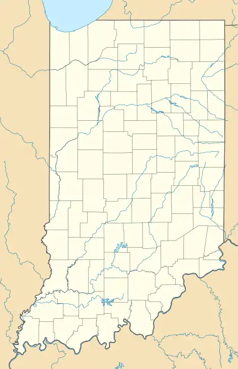  Hemlock  Hemlock | |
| Coordinates: 40°25′12″N 86°2′29″W | |
| Country | United States |
| State | Indiana |
| County | Howard |
| Township | Taylor |
| Elevation | 860 ft (260 m) |
| ZIP code | 46937 |
| Area code(s) | 765 |
| GNIS feature ID | 436002[1] |
Hemlock is part of the Kokomo, Indiana Metropolitan Statistical Area.
History
Hemlock was laid out in 1852.[4] It was originally known as Terre Halle, but was renamed Hemlock before 1881.[5]
Geography
Hemlock is located at 40°25′12″N 86°2′29″W.
References
- "Hemlock, Indiana". Geographic Names Information System. United States Geological Survey. Retrieved 2009-10-17.
- Geographic Names Information System Feature Detail Report, Geographic Names Information System, 1979-02-14. Accessed 2008-01-07.
- DeLorme. Indiana Atlas & Gazetteer. 3rd ed. Yarmouth: DeLorme, 2004, p. 33. ISBN 0-89933-319-2.
- "Howard County's Townships and Their Early Settlements and Towns". Kokomo-Howard County Public Library. Archived from the original on 22 December 2013. Retrieved 2 June 2014.
- "A Look Back as We Move Forward". The Kokomo Tribune. March 28, 1999. p. 58. Retrieved August 16, 2014 – via Newspapers.com.

Municipalities and communities of Howard County, Indiana, United States | ||
|---|---|---|
| City | 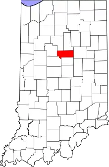 Map of Indiana highlighting Howard County | |
| Towns | ||
| Townships | ||
| Other unincorporated communities | ||
| ||
This article is issued from Wikipedia. The text is licensed under Creative Commons - Attribution - Sharealike. Additional terms may apply for the media files.