Goromuru River
The Goromuru River is a river, located in the Northern Territory in Australia.
| Goromuru Gurrumuru, Gurrumurru | |
|---|---|
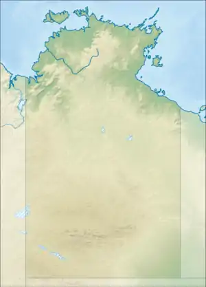  Location of the Goromuru River mouth in the Northern Territory | |
| Etymology | Dhuwal language |
| Location | |
| Country | Australia |
| Territory | Northern Territory |
| Physical characteristics | |
| Source | |
| • location | Frederick Hills, Arnhem Land, Australia |
| • elevation | 15 m (49 ft) |
| Mouth | |
• location | Arnhem Bay, Australia |
• coordinates | 12°28′39″S 136°13′6″E |
• elevation | 0 m (0 ft) |
| Length | 30 km (19 mi) |
| Basin size | 1,026 km2 (396 sq mi) |
| [1] | |
The headwaters are found in the valleys of the Frederick Hills in Arnhem Land and flow in a northerly direction through uninhabited country for a distance of 30 kilometres (19 mi) until discharging into Arnhem Bay and eventually the Arafura Sea.
The catchment area of the river is 1,026 square kilometres (396 sq mi).[2]
The estuary formed at the river mouth is tidal in nature and in near pristine condition.[3] The estuary occupies an area of 53.5 hectares (132 acres) of open water. It is tide dominated in nature having a single channel and is surrounded by an area of 10.5 square kilometres (4 sq mi) covered with mangroves.[4]
References
- "Map of Goromuru River, NT". Bonzle Digital Atlas of Australia. Retrieved 2 May 2015.
- Emma Murray, Lynda Radke, Brendan Brooke, David Ryan, Andrew Moss, Ray Murphy, Malcolm Robb and David Rissik (June 2006). "Australia's near pristine estuaries; Current knowledge and management" (PDF). Geoscience Australia. Retrieved 24 May 2015.CS1 maint: uses authors parameter (link)
- "Australian Catchment, River and Estuary Assessment" (PDF). Natural Heritage Trust. 2002. Archived from the original (PDF) on 13 February 2014. Retrieved 2 May 2015.
- "Goromuru River, NT". Australian online Coastal Information. Commonwealth of Australia. Retrieved 24 May 2015.
River systems and rivers of the Northern Territory, Australia | |
|---|---|
| Floodplains | |
| Rivers |
|
| |

This article is issued from Wikipedia. The text is licensed under Creative Commons - Attribution - Sharealike. Additional terms may apply for the media files.