Crane Creek (California)
Crane Creek is a stream in Sonoma County, California, United States which rises in the northern Sonoma Mountains.[2] This watercourse flows through Crane Canyon and the Crane Creek Regional Park [3] situated on the northwestern flank of Sonoma Mountain. Crane Creek forms a confluence with Hinebaugh Creek in the city of Rohnert Park; thereafter, the channelized [4] Hinebaugh Creek flows westerly to discharge to the Laguna de Santa Rosa. Hiking access to the upper Crane Creek reaches is from Roberts Road off Petaluma Hill Road.[5]
| Crane Creek | |
|---|---|
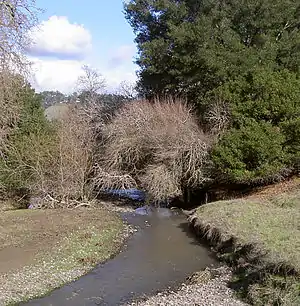 Crane Creek east of Rohnert Park | |
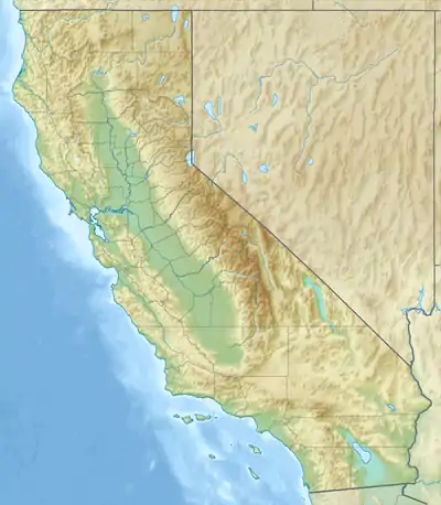  Location of the mouth of Crane Creek in California | |
| Location | |
| Country | United States |
| State | California |
| Region | Sonoma County |
| City | Rohnert Park, California |
| Physical characteristics | |
| Source | |
| • location | Sonoma Mountain |
| • coordinates | 38°21′4″N 122°36′4″W[1] |
| • elevation | 1,535 ft (468 m) |
| Mouth | Hinebaugh Creek |
• location | Rohnert Park, California |
• coordinates | 38°21′19″N 122°41′26″W[1] |
• elevation | 112 ft (34 m)[1] |
References
- U.S. Geological Survey Geographic Names Information System: Crane Creek
- USGS: 7.5 minute quadrangle map: Cotati, photorevised (1980)
- Sonoma County Regional Parks: Crane Creek Regional Park (2005) Archived 2007-08-18 at the Wayback Machine
- Earth Metrics Inc., Environmental Impact Report for the City of Rohnert Park General Plan, C Michael Hogan, Marc Papineau, Ballard George et al., City of Rohnert Park, California and the State of California Environmental Clearinghouse, Sacramento, Report 10351, March, 1990
- Bay Area Hiker: Crane Creek Regional Park, 2003
 |
Wikimedia Commons has media related to Crane Creek (Sonoma County, California). |
This article is issued from Wikipedia. The text is licensed under Creative Commons - Attribution - Sharealike. Additional terms may apply for the media files.