Barrelville, Maryland
Barrelville is an unincorporated community and census-designated place (CDP) in Allegany County, Maryland, United States.[1] As of the 2010 census, it had a population of 73.[2] It is located between Corriganville and Mount Savage, where an 1804 road from Pennsylvania intersected the legendary Turkey Foot Road.[3] Jennings Run flows from Mount Savage to Barrelville, where another tributary that runs south from Wellersburg, Pennsylvania, joins Jennings Run.[4]
Barrelville, Maryland | |
|---|---|
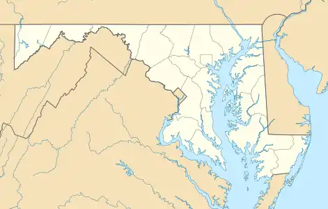  Barrelville Location within the State of Maryland 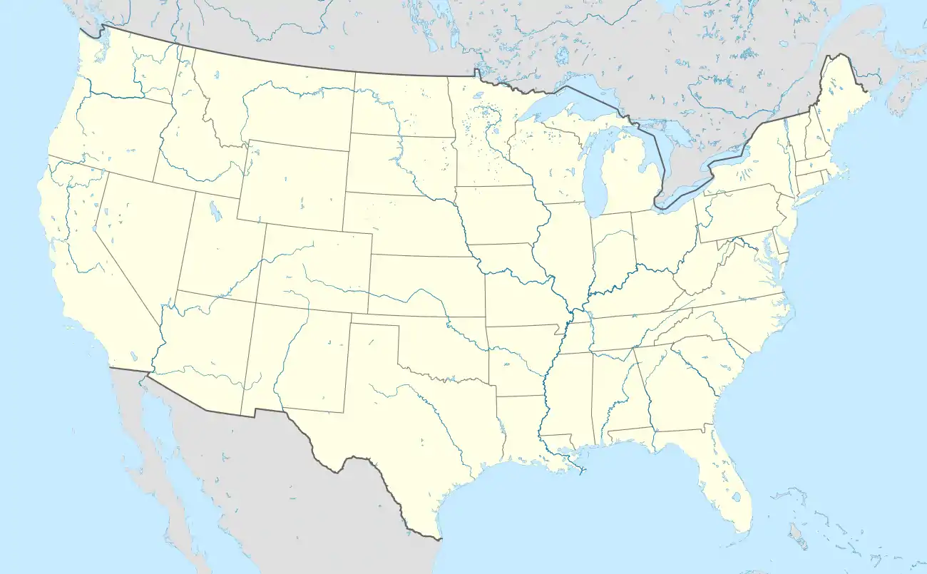 Barrelville Barrelville (the United States) | |
| Coordinates: 39°42′06″N 78°50′33″W | |
| Country |  United States United States |
| State |  Maryland Maryland |
| County |  Allegany Allegany |
| Area | |
| • Total | 0.04 sq mi (0.11 km2) |
| • Land | 0.04 sq mi (0.11 km2) |
| • Water | 0 sq mi (0 km2) |
| Elevation | 1,000 ft (300 m) |
| Population (2010) | |
| • Total | 73 |
| • Density | 1,662/sq mi (641.8/km2) |
| Time zone | UTC−5 (Eastern (EST)) |
| • Summer (DST) | UTC−4 (EDT) |
| ZIP code | 21545 |
| Area code(s) | 301 and 240 |
| FIPS code | 24-04525 |
| GNIS feature ID | 2583577 |
References
- "Geographic Names Information System". Barrelville (Populated Place). U.S. Geological Survey. 2009-01-29.
- "Geographic Identifiers: 2010 Demographic Profile Data (G001): Barrelville CDP, Maryland". U.S. Census Bureau, American Factfinder. Archived from the original on February 12, 2020. Retrieved May 22, 2013.
- L. Dietle & M. McKenzie. "In Search of the Turkey Foot Road." Mount Savage Historical Society, 2010.
- Parker, Willis, Bolster, Ashe, & Marsh, Horatio N., Bailey, R.H., W.W., & M.C. (1907). The Potomac River Basin. Washington, DC: Government Printing Office. p. 219. Retrieved June 22, 2020.CS1 maint: multiple names: authors list (link)
Municipalities and communities of Allegany County, Maryland, United States | ||
|---|---|---|
| Cities | 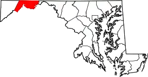 | |
| Towns | ||
| CDPs |
| |
| Other communities | ||
| ||
This article is issued from Wikipedia. The text is licensed under Creative Commons - Attribution - Sharealike. Additional terms may apply for the media files.