Arve
The Arve (French: L'Arve, French pronunciation: [aʁv]) is a river in France, in the département of Haute-Savoie, and (for a few kilometers) in Switzerland. It is a left tributary of the Rhône. It is 108 km (67 mi) long.[1]
| Arve | |
|---|---|
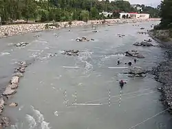 The Arve near Annemasse, Haute-Savoie | |
.png.webp) | |
| Native name | L'Arve (French) |
| Location | |
| Countries | |
| Physical characteristics | |
| Source | |
| • location | Col des Montets near Chamonix |
| • coordinates | 46.00341°N 6.92029°E |
| • elevation | 1,516 m (4,974 ft) |
| Mouth | |
• location | Rhône in Geneva |
• coordinates | 46.20129°N 6.12197°E |
• elevation | 370 m (1,210 ft) |
| Length | 108 km (67 mi) |
| Basin size | 2,060 km2 (800 sq mi) |
| Discharge | |
| • average | 75 m3/s (2,600 cu ft/s) |
| Basin features | |
| Progression | Rhône→ Mediterranean Sea |
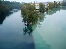
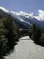
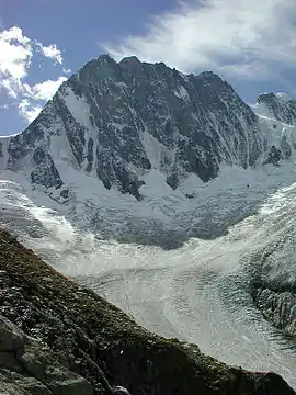
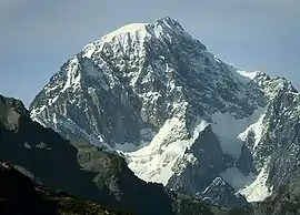
Rising in the northern side of the Mont Blanc massif in the Alps, close to the Swiss border, it receives water from the many glaciers of the Chamonix valley (mainly the Mer de Glace) before flowing north-west into the Rhône on the west side of Geneva, where its much higher level of silt brings forth a striking contrast between the two rivers.
The Arve flows through Chamonix, Sallanches, Oëx, Cluses, Bonneville, Annemasse and Geneva.
References
This article is issued from Wikipedia. The text is licensed under Creative Commons - Attribution - Sharealike. Additional terms may apply for the media files.