Solre
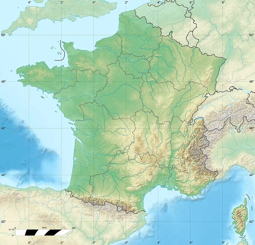
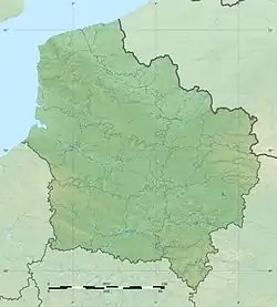
Solre is a river in France that runs in the Département Nord in the region Hauts-de-France. It originates from the confluence of two source streams at Solre-le-Château, in the Avesnois Regional Nature Park.[1] The river generally drains to the northwest and empties at 22.4 kilometers east of Maubeuge, in the municipality of Rousies, as a right tributary to the channeled Sambre.[2]
| Solre | |
|---|---|
_rivi%C3%A8re_la_Solre.JPG.webp) The river in Ferrière-la-Grande | |
   | |
| Location | |
| Country | France |
| Physical characteristics | |
| Source | |
| • location | in the municipality of Solre-le-Château |
| • elevation | 180 m (590 ft) |
| Mouth | |
• location | in the municipality of Rousies in the canalized Sambre |
• coordinates | 50°17′2″N 4°0′52″E |
| Length | 22.4 km (13.9 mi) |
| Basin size | 2,740 square kilometres (1,060 sq mi) |
| Basin features | |
| Progression | Sambre→ Meuse→ North Sea |
Places on the river
References
 |
Wikimedia Commons has media related to Solre. |
This article is issued from Wikipedia. The text is licensed under Creative Commons - Attribution - Sharealike. Additional terms may apply for the media files.