Smyrna River
The Smyrna River is a 7.3-mile-long (11.7 km)[3] river in central Delaware in the United States.
| Smyrna River Tributary to Delaware Bay | |
|---|---|
   | |
| Location | |
| Country | United States |
| State | Delaware |
| County | New Castle Kent |
| City | Smyrna |
| Physical characteristics | |
| Source | |
| • location | Smyrna, Delaware |
| • coordinates | 39°18′46″N 075°34′30″W[1] |
| Mouth | |
• location | Smyrna, Delaware |
• coordinates | 39°21′54″N 075°30′48″W[1] |
• elevation | sea level (0 ft.) |
| Length | 7 miles[1] |
| Basin size | 64 sq. mi[2] |
| Basin features | |
| River system | Delaware River |
| Tributaries | |
| • left | Massey Branch Mill Creek Corks Point Ditch Sawmill Branch |
| • right | Providence Creek Greens Branch |
| Waterbodies | Duck Creek Pond Lake Como |
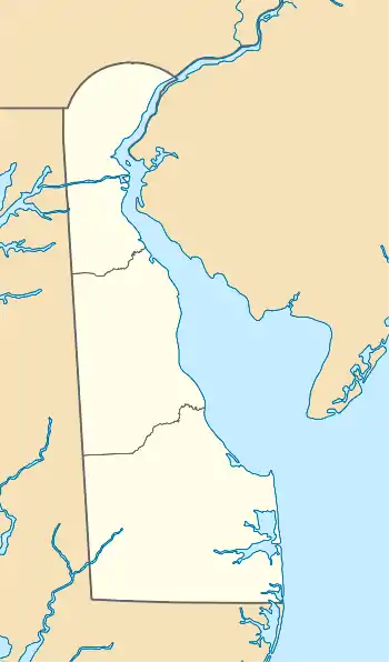
It rises east of Smyrna, Delaware, at the confluence of Duck Creek and Mill Creek.[3] It flows generally northeast, forming the boundary between Kent and New Castle counties. It enters Delaware Bay approximately 6 miles (10 km) northeast of Smyrna. It is navigable for its entire course.
See also
References
- "GNIS Detail - Smyrna River". geonames.usgs.gov. US Geological Survey. Retrieved 19 May 2019.
- "Smyrna River | Delaware Watersheds". Delaware Watersheds. Delaware Division of Watershed Stewardship and University of Delaware Water Resources Center. Retrieved 19 May 2019.
- U.S. Geological Survey. National Hydrography Dataset high-resolution flowline data. The National Map, accessed April 1, 2011
External links
Dover (capital) | ||
| Topics |
|  |
| Society |
| |
| Cities | ||
| Towns |
| |
| Counties | ||


This article is issued from Wikipedia. The text is licensed under Creative Commons - Attribution - Sharealike. Additional terms may apply for the media files.