Saint-Thibault, Côte-d'Or
Saint-Thibault is a commune in the Côte-d'Or department in France.
Saint-Thibault | |
|---|---|
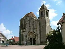 The church in Saint-Thibault | |
Location of Saint-Thibault 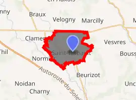
| |
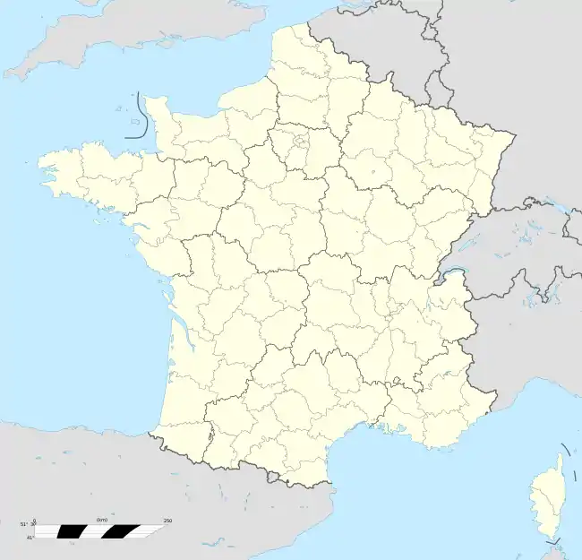  Saint-Thibault 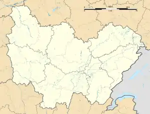 Saint-Thibault | |
| Coordinates: 47°22′26″N 4°28′23″E | |
| Country | France |
| Region | Bourgogne-Franche-Comté |
| Department | Côte-d'Or |
| Arrondissement | Montbard |
| Canton | Semur-en-Auxois |
| Government | |
| • Mayor (2008–2014) | Raymond Lechenault |
| Area 1 | 12.35 km2 (4.77 sq mi) |
| Population (2017-01-01)[1] | 164 |
| • Density | 13/km2 (34/sq mi) |
| Time zone | UTC+01:00 (CET) |
| • Summer (DST) | UTC+02:00 (CEST) |
| INSEE/Postal code | 21576 /21350 |
| Elevation | 328–450 m (1,076–1,476 ft) (avg. 368 m or 1,207 ft) |
| 1 French Land Register data, which excludes lakes, ponds, glaciers > 1 km2 (0.386 sq mi or 247 acres) and river estuaries. | |
As part of the canton of Semur-en-Auxois, it is located at an altitude of some 366 metres (1,201 ft) in the vicinity of the towns of Beurizot and of Normier. It is said to have a population of 148 including foreigners of Australian, American and UK origins. The nearest large town is Bruise situated about 40 km to the southeast. The river Armançon crosses the town.
The church is named for the remains of the saint interred there, although they were removed about 1073.
Population
| Year | Pop. | ±% |
|---|---|---|
| 1962 | 174 | — |
| 1968 | 181 | +4.0% |
| 1975 | 161 | −11.0% |
| 1982 | 144 | −10.6% |
| 1990 | 142 | −1.4% |
| 1999 | 138 | −2.8% |
| 2008 | 148 | +7.2% |
See also
References
- "Populations légales 2017". INSEE. Retrieved 6 January 2020.
 |
Wikimedia Commons has media related to Saint-Thibault (Côte-d'Or). |
Authority control  |
|
|---|
This article is issued from Wikipedia. The text is licensed under Creative Commons - Attribution - Sharealike. Additional terms may apply for the media files.