Likhutamakoshi Rural Municipality
Likhutamakoshi is a Rural municipality located within the Ramechhap District of the Bagmati Province of Nepal. The municipality spans 124.51 square kilometres (48.07 sq mi) of area, with a total population of 23,109 according to a 2011 Nepal census.[1][2]
Likhu (RM)
लिखु गाउँपालिका | |
|---|---|
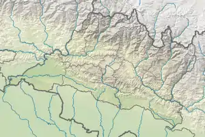  Likhu (RM) Location 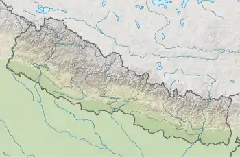 Likhu (RM) Likhu (RM) (Nepal) | |
| Coordinates: 27°25′33″N 86°10′35″E | |
| Country |  Nepal Nepal |
| Province | Bagmati |
| District | Ramechhap District |
| Wards | 7 |
| Established | 10 March 2017 |
| Government | |
| • Type | Rural Council |
| • Chairperson | Mr. Gobinda B. Khadka |
| • Vice-chairperson | Mrs. Dipshikha Nyaupane |
| • Term of office | (2017 - 2022) |
| Area | |
| • Total | 124.51 km2 (48.07 sq mi) |
| Population (2011) | |
| • Total | 23,109 |
| • Density | 190/km2 (480/sq mi) |
| Time zone | UTC+5:45 (Nepal Standard Time) |
| Headquarter | Bijulikot |
| Website | likhumunramechhap |
On March 10, 2017, the Government of Nepal restructured the local level bodies into 753 new local level structures.[3][4] The previous Duragau, Saipu, Bijulikot, Naga Daha, Khimti and Tilpung VDCs were merged to form Likhutamakoshi Rural Municipality. Likhutamakoshi is divided into 7 wards, with Bijulikot declared the administrative center of the rural municipality.
References
- "District Corrected Last for RAJAPATRA" (PDF). www.mofald.gov.np. Retrieved 17 July 2018.
- "स्थानीय तहहरुको विवरण" [Details of the local level bodies]. www.mofald.gov.np/en (in Nepali). Ministry of Federal Affairs and Local Development. Retrieved 17 July 2018.
- "New local level structure comes into effect from today". www.thehimalayantimes.com. The Himalayan Times. 10 March 2017. Retrieved 17 July 2018.
- "New local level units come into existence". www.kathmandupost.ekantipur.com. 11 March 2017. Retrieved 18 July 2018.
External links
Headquarters: Manthali | ||
| Municipalities | 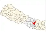 | |
| Rural municipalities | ||
| Former VDCs |
| |
This article is issued from Wikipedia. The text is licensed under Creative Commons - Attribution - Sharealike. Additional terms may apply for the media files.