Kiphire
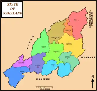
Kiphire (Pron:/ˈkɪfɑɪə/) is a small town, situated at an elevation of 896 m (2,940 ft) above sea level and is the headquarters of the newly formed Kiphire district, carved out of Tuensang district, in Nagaland, India. Kiphire is about 254 km from Kohima, the capital of Nagaland. It is the place where the Naga tribes of Sangtam (Eastern), Yimchunger and Sema tribes meet. The town is the nearest district headquarters to Mt. Saramati (3841 m or 12,602 ft), Nagaland's highest peak.
Kiphire | |
|---|---|
town | |
 | |
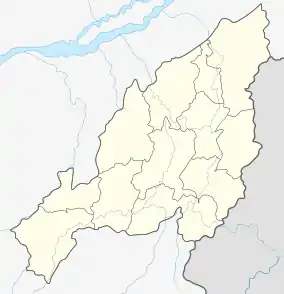  Kiphire Location in Nagaland,India | |
| Coordinates: 25.8992°N 94.7808°E | |
| Country |  |
| State | Nagaland |
| District | Kiphire |
| Government | |
| • Type | Town Council |
| Area | |
| • Total | 9 km2 (3 sq mi) |
| Elevation | 896 m (2,940 ft) |
| Population (2011) | |
| • Total | 11,799 |
| • Rank | 17th in Nagaland |
| • Density | 100/km2 (300/sq mi) |
| Languages | |
| • Official | English |
| Time zone | UTC+5:30 (IST) |
| Vehicle registration | NL |
| Website | http://kiphire.nic.in |
District map of Nagaland with Kiphire
This article is issued from Wikipedia. The text is licensed under Creative Commons - Attribution - Sharealike. Additional terms may apply for the media files.