Kesarapalle
Kesarapalle is a neighbourhood of Vijayawada in Krishna district of the Indian state of Andhra Pradesh. It is located in Gannavaram mandal of Nuzvid revenue division.[1] As per the G.O. No. M.S.104 (dated:23-03-2017), Municipal Administration and Urban Development Department, it became a part of Vijayawada metropolitan area.[2][3]
Kesarapalle | |
|---|---|
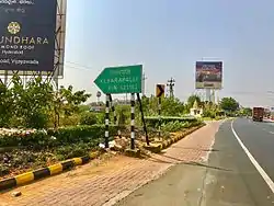 Kesarapalle board on AH-45 | |
.svg.png.webp)  Kesarapalle Location in Andhra Pradesh, India 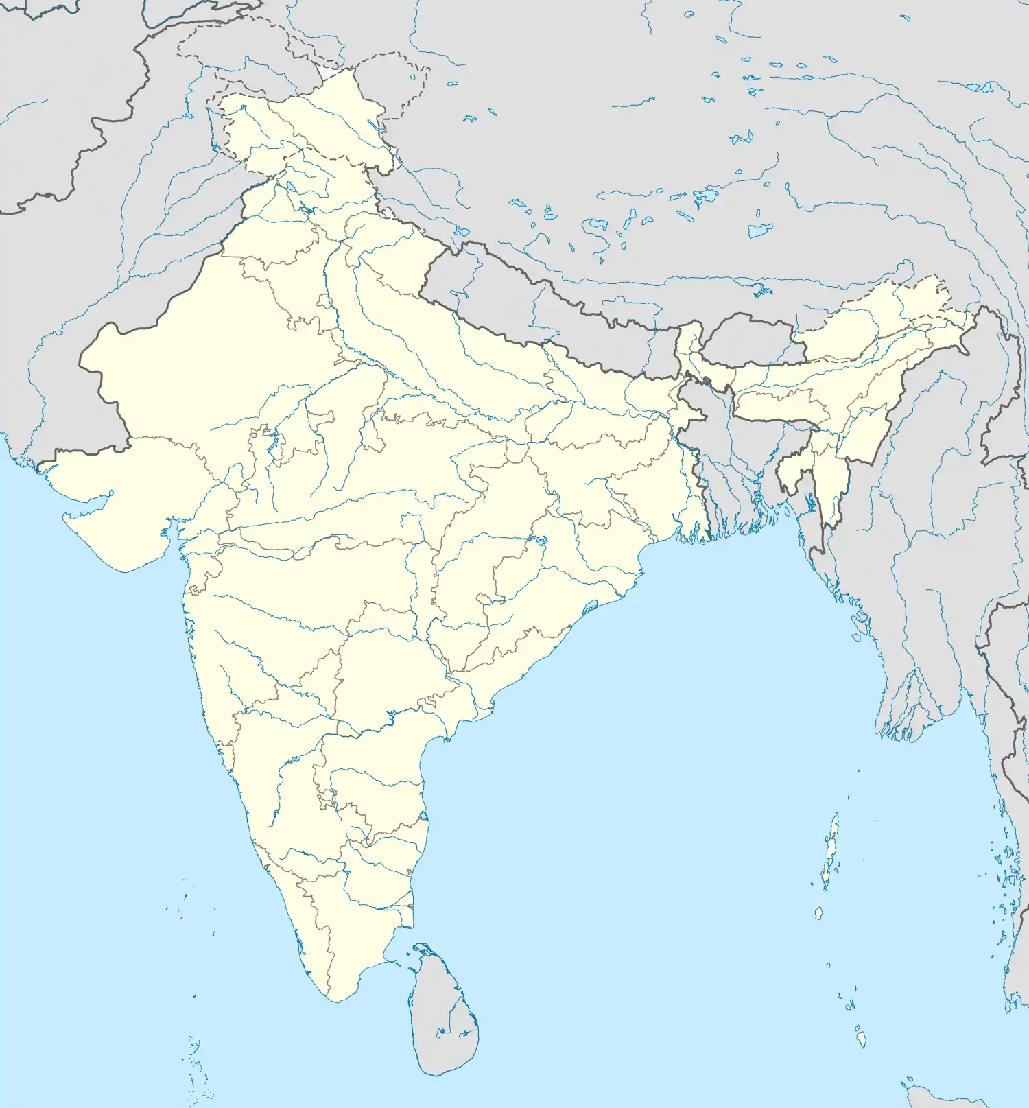 Kesarapalle Kesarapalle (India) | |
| Coordinates: 16°31′21.84″N 80°46′37.79″E | |
| Country |  India India |
| State | Andhra Pradesh |
| District | Krishna |
| Area | |
| • Total | 17.70 km2 (6.83 sq mi) |
| Elevation | 24 m (79 ft) |
| Population (2011) | |
| • Total | 9,076 |
| • Density | 510/km2 (1,300/sq mi) |
| Languages | |
| • Official | Telugu |
| Time zone | UTC+5:30 (IST) |
| PIN | 521102 |
| Vehicle registration | AP- |
| Coastline | 0 kilometres (0 mi) |
| Nearest city | Vijayawada |
| Lok Sabha constituency | Machilipatnam |
| Vidhan Sabha constituency | Gannavaram |
Transport
It is located on AH-45. State run APS RTC bus services from Vijayawada and Eluru to here. It also has a Railway station. Vijayawada Airport is located in this village.
References
- "District Census Handbook - Krishna" (PDF). Census of India. p. 16,322. Retrieved 8 February 2016.
- Reporter, Staff. "Vijayawada, 19 other contiguous areas notified as Metropolitan Area". The Hindu. Retrieved 27 March 2017.
- "Welcome to Government Order Issue Register". goir.ap.gov.in. Retrieved 27 March 2017.
This article is issued from Wikipedia. The text is licensed under Creative Commons - Attribution - Sharealike. Additional terms may apply for the media files.