Gavarnie
Gavarnie is a former commune in the Hautes-Pyrénées department in south-western France. On 1 January 2016, it was merged into the new commune of Gavarnie-Gèdre.[2] Gavarnie is known for the Cirque de Gavarnie, and the Gavarnie Falls in it, part of the UNESCO World Heritage Site Pyrénées – Mont Perdu.
Gavarnie | |
|---|---|
Part of Gavarnie-Gèdre | |
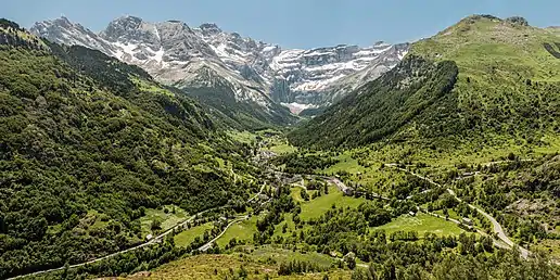 The commune of Gavarnie, and Cirque de Gavarnie | |
.svg.png.webp) Coat of arms | |
Location of Gavarnie 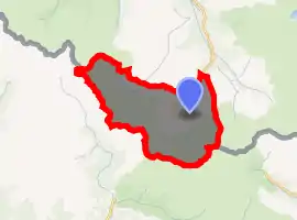
| |
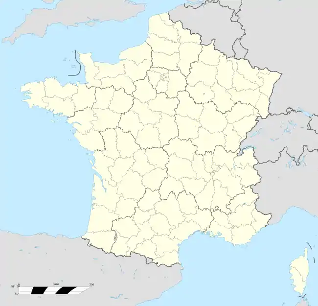  Gavarnie 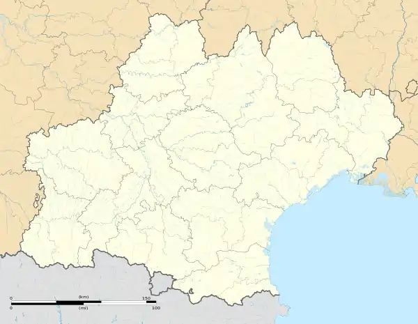 Gavarnie | |
| Coordinates: 42°44′06″N 0°00′36″W | |
| Country | France |
| Region | Occitanie |
| Department | Hautes-Pyrénées |
| Arrondissement | Argelès-Gazost |
| Canton | La Vallée des Gaves |
| Commune | Gavarnie-Gèdre |
| Area 1 | 82.54 km2 (31.87 sq mi) |
| Population (2017)[1] | 115 |
| • Density | 1.4/km2 (3.6/sq mi) |
| Time zone | UTC+01:00 (CET) |
| • Summer (DST) | UTC+02:00 (CEST) |
| Postal code | 65120 |
| Elevation | 1,200–3,298 m (3,937–10,820 ft) |
| 1 French Land Register data, which excludes lakes, ponds, glaciers > 1 km2 (0.386 sq mi or 247 acres) and river estuaries. | |
The Prime Meridian passes through Gavarnie, including at its southernmost point in France – the commune touches Aragon, Spain.
References
External links
 |
Wikimedia Commons has media related to Gavarnie. |
Authority control  |
|
|---|
This article is issued from Wikipedia. The text is licensed under Creative Commons - Attribution - Sharealike. Additional terms may apply for the media files.