Ferrée River (L'Islet)
The Ferrée River (in French: Rivière Ferrée) is a tributary of the south shore of the St. Lawrence River where it flows into the small hamlet of Village-des-Aulnaies, located southwest of the village of La Pocatière and north-east of the village of Saint-Roch-des-Aulnaies.[1]
| Ferrée River | |
|---|---|
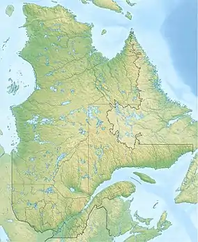  | |
| Native name | Rivière Ferrée (French) |
| Location | |
| Country | Canada |
| Province | Quebec |
| Region | Chaudière-Appalaches |
| MRC | L'Islet Regional County Municipality |
| Physical characteristics | |
| Source | Lake Litalien |
| • location | Sainte-Louise |
| • coordinates | 47.243679°N 70.171117°W |
| • elevation | 47 metres (154 ft) |
| Mouth | St. Lawrence River |
• location | Saint-Roch-des-Aulnaies |
• coordinates | 47.31667°N 70.145°W |
• elevation | 4 metres (13 ft) |
| Length | 10.3 kilometres (6.4 mi) |
| Basin features | |
| Tributaries | |
| • left | (upstream) ruisseau de la Côte des Chutes, ruisseau Francoeur |
| • right | (upstream) Le Bras, Joncas River |
Toponymy
The toponym Rivière Ferrée was formalized on December 5, 1968 at the Commission de toponymie du Québec.[2]
Notes and references
This article is issued from Wikipedia. The text is licensed under Creative Commons - Attribution - Sharealike. Additional terms may apply for the media files.