Eira (river)
Eira is a river in Molde Municipality in Møre og Romsdal county, Norway. The 7-kilometre (4.3 mi) long river flows from the lake Eikesdalsvatnet past the village of Eresfjord and into the Eresfjorden. The mountain Skjorta lies 5 kilometres (3.1 mi) east of the river.
| Eira | |
|---|---|
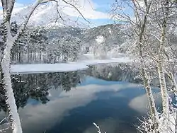 Eira river in Eresfjord | |
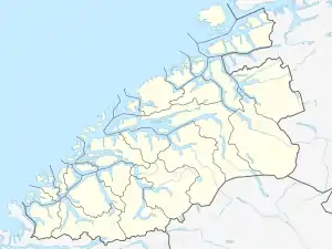  Location of the river 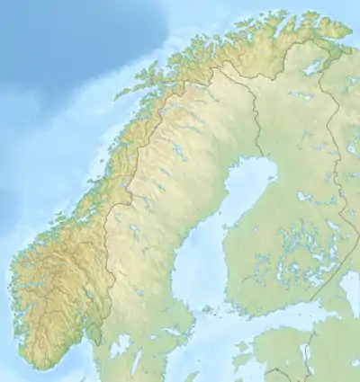 Eira (river) (Norway) | |
| Location | |
| Country | Norway |
| County | Møre og Romsdal |
| Municipalities | Molde Municipality |
| Physical characteristics | |
| Source | Eikesdalsvatnet |
| • location | Osen, Molde |
| • coordinates | 62.63159°N 8.10182°E |
| • elevation | 22 metres (72 ft) |
| Mouth | Eresfjorden |
• location | Syltebø, Molde |
• coordinates | 62.68495°N 8.13164°E |
• elevation | 0 metres (0 ft) |
| Length | 7 km (4.3 mi) |
Historically, the river was a bountiful salmon fishing area, but since it has become a regulated river for nearby hydro-electric power stations, the fish have not been as plentiful.[1]
See also
References
- Store norske leksikon. "Eira" (in Norwegian). Retrieved 2010-10-31.
Authority control  |
|
|---|
This article is issued from Wikipedia. The text is licensed under Creative Commons - Attribution - Sharealike. Additional terms may apply for the media files.