Benninghof Run
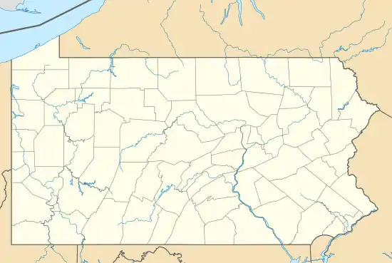
Benninghof Run is a 3.26 mi (5.25 km) long stream that begins on the divide between Oil Creek and Cherrytree Run in Venango County, Pennsylvania.[2] The mouth of the creek is located in Oil Creek State Park.
| Benninghof Run Tributary to Oil Creek | |
|---|---|
   | |
| Location | |
| Country | United States |
| State | Pennsylvania |
| County | Venango |
| Townships | Cherrytree Cornplanter |
| Physical characteristics | |
| Source | on divide of Oil Creek and Cherrytree Run |
| • location | about 0.5 miles southeast of Toonerville, Pennsylvania |
| • coordinates | 41°33′45″N 079°41′22″W[1] |
| • elevation | 1,560 ft (480 m)[2] |
| Mouth | Oil Creek |
• location | about 0.25 miles upstream of Petroleum Center, Pennsylvania on Oil Creek |
• coordinates | 41°33′45″N 079°41′22″W[1] |
• elevation | 1,070 ft (330 m)[2] |
| Length | 3.26 mi (5.25 km)[3] |
| Basin size | 2.86 square miles (7.4 km2)[4] |
| Discharge | |
| • average | 5.41 cu ft/s (0.153 m3/s) at mouth with Oil Creek[4] |
| Basin features | |
| Progression | south then southwest |
| River system | Allegheny River (Oil Creek) |
| Tributaries | |
| • left | unnamed tributaries |
| • right | unnamed tributaries |
References
- "GNIS Detail - Benninghof Run". geonames.usgs.gov. US Geological Survey. Retrieved 24 August 2019.
- "Benninghof Run Topo Map, Venango County PA (Titusville South Area)". TopoZone. Locality, LLC. Retrieved 24 August 2019.
- "ArcGIS Web Application". epa.maps.arcgis.com. US EPA. Retrieved 24 August 2019.
- "Benninghof Run Watershed Report". Waters Geoviewer. US EPA. Retrieved 24 August 2019.
This article is issued from Wikipedia. The text is licensed under Creative Commons - Attribution - Sharealike. Additional terms may apply for the media files.