Aille River (County Mayo)
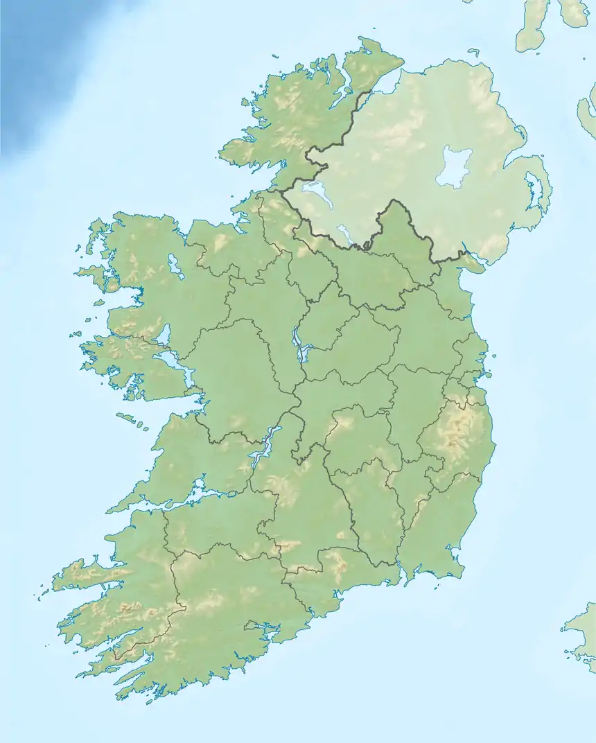
The Aille River (Irish: Abhainn na hAille[1]) is a river in County Mayo, Ireland, flowing from the Partry Mountains to Lough Mask, and flows underground for part of its course.[2]
| Aille River | |
|---|---|
  | |
| Etymology | Irish for "cliff river" |
| Native name | Abhainn na hAille |
| Physical characteristics | |
| Source | |
| • location | Glenmask, Partry Mountains, County Mayo |
| Mouth | |
• location | Galway Bay via Lough Mask, Lough Corrib and River Corrib |
• coordinates | 53.776657°N 9.372744°W |
| Length | 29.8 kilometres (18.5 mi) |
| Discharge | |
| • average | 15 m3/s (530 cu ft/s) |
Course
The Aille River rises in the Partry Mountains 16 km (10 mi) south of Westport,[3] drains the northwest part of the Partry range and sinks underground at the Aille Caves. It continues as a subterranean river for 4 km (2.5 mi), resurging at Pollatoomary. It flows south to Cloon Lough, which feeds into Lough Mask.
See also
References
- http://www.logainm.ie/ga/116011
- http://wiki.technicaldiving.ie/index.php?title=Pollatoomary,_Resurgence_of_Aille_River Archived 2016-04-28 at the Wayback Machine
- "The aille river and cave, co. Mayo". Geographical Society of Ireland. Bulletin. 2: 58–60. doi:10.1080/00750775009555447.
This article is issued from Wikipedia. The text is licensed under Creative Commons - Attribution - Sharealike. Additional terms may apply for the media files.